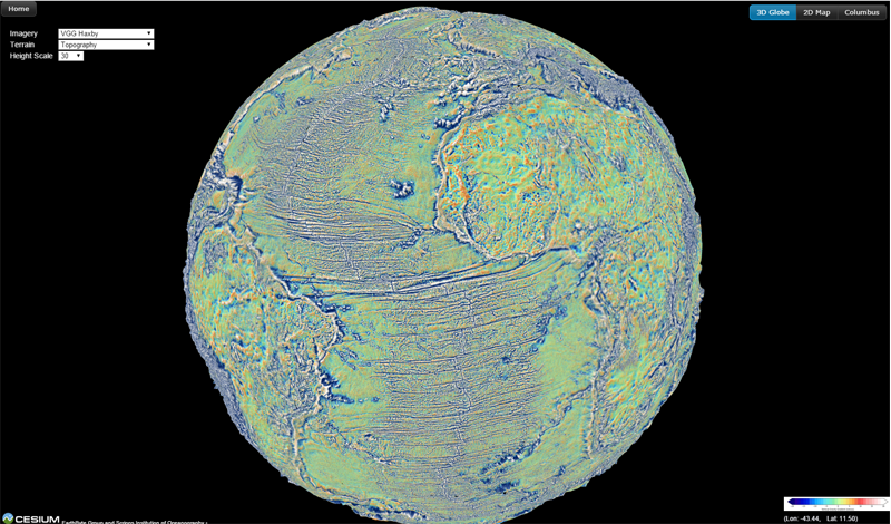
Vertical Gravity Gradient (Version 23.1)
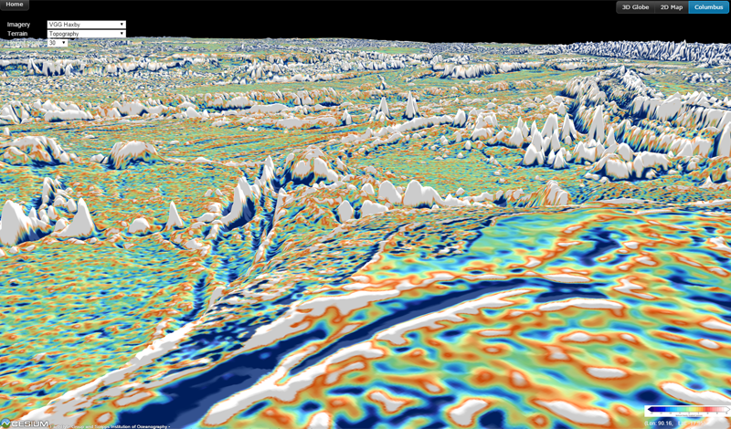
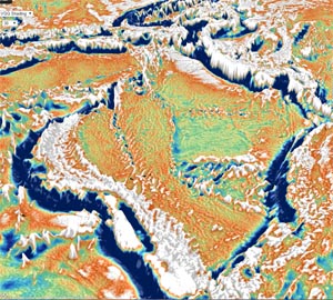
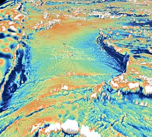
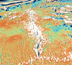
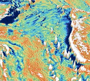
Our knowledge of the seafloor in large areas of inaccessible ocean come from maps of the Earth's gravity field derived using satellite altimetry. A new version of the global vertical gravity gradient (VGG) map, recently published in the journal 'Science', shows unprecedented detail, helping us map never-before-seen features in many regions. Use the link below to explore these data yourself within your web browser using an interactive 3D visualisation
To learn more about these data, visit David Sandwell's website on Exploring Ocean Tectonics from Space
Reference
- David T. Sandwell, R. Dietmar Müller, Walter H. F. Smith, Emmanuel Garcia, Richard Francis, New global marine gravity model from
CryoSat-2 and Jason-1 reveals buried tectonic structure, Science, Vol. 346, no. 6205, pp. 65-67, doi: 10.1126/science.1258213, 2014.
Author information and acknowledgments
