GPlates Portal
  • Resources
    • EarthByte Resources
    • GPlates Resources
    • GPlates Sample Data
  • Goto
    • www.GPlates.org
    • www.EarthByte.org
    • Community Forum
    • Applications
    • People
    • Sponsors
  • About Us
    • Our Team
    • Contact
    • FAQ
  • Log In
  • Sign Up
Back to Top

SRTM15_PLUS

SRTM15 #1
SRTM15 #2
SRTM15 #3
SRTM15 #4
Previous Next

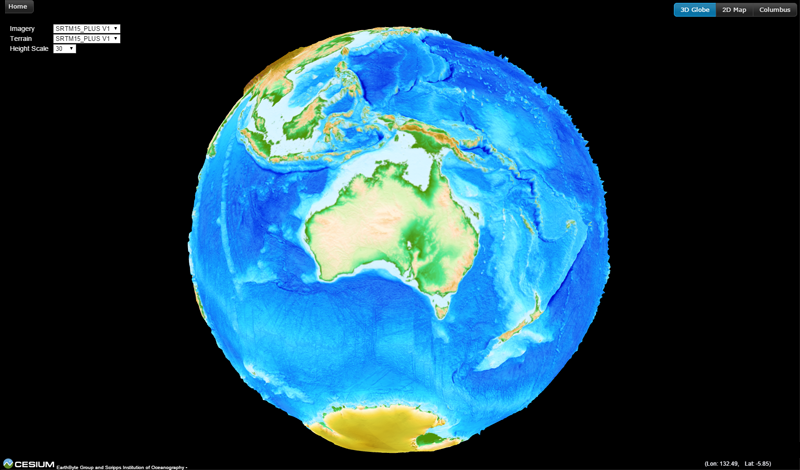
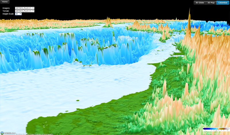
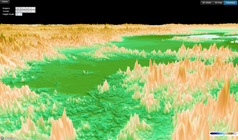
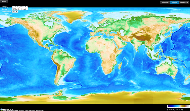
The SRTM15_PLUS data fusion consists of SRTM land topography with measured and estimated seafloor topography. This web application allows users to explore SRTM15_PLUS data interactively on a 3D globe. The imagery raster is created by applying ETOPO1 colour scheme to SRTM15_PLUS data. And the topography is visualized via terrain vertical exaggeration.

For more information about SRTM15_PLUS data, click here.

View Topography on 3D Globe


Copyright © 2015-2022 The University of Sydney. All rights reserved. Disclaimer Privacy
  • Tweet